

The brief
Upper Mustang receives thousands of visitors a year along a single road. It has no wayfinding system at all.
Navigation depends on hand-painted rocks, informal cairns, lodge adverts and mapping apps that lose signal at exactly the altitudes where getting it wrong matters most. Wayfinding theorist Per Mollerup has a name for this: waylosing, the disorientation that follows when wayshowing is absent.
Half the people I surveyed had already avoided a destination because they expected navigating it to be difficult. In a region that lives on tourism, that is income that never arrives.
Why it matters
- 14,452
- People living in Mustang, about 3.5 to 4 per square kilometre
- 500,000+
- Visitors to Mustang a year, from Nepal and abroad
- 50
- Trekkers in Nepal needing search and rescue each year
- 10–15
- Of those, trekkers who go missing for good
Visitor and rescue figures: Nepal Tourism Board. On 31 October 2025, fifteen trekkers, three of them British, were rescued after heavy snowfall trapped them on the Dhaulagiri circuit in Mustang (The Kathmandu Post).
Guras Yatra (गुराँस यात्रा) proposes a national wayfinding system for Nepal, piloted on the corridor from Pokhara to Lo Manthang, the walled capital of the old Kingdom of Lo, often called the last forbidden kingdom.
The question
How can design make navigation safer, clearer and culturally authentic? And can wayfinding become a multilingual identity for a place, iconic and scalable at once?
- दिशाDirection
- भाषाLanguage
- संस्कृतिCulture
- सुरक्षाSafety
The aim: a system that helps people navigate, reflects local culture, supports tourism, improves safety and gives the region an identity people recognise.
- 600 km
- Corridor, Pokhara to Lo Manthang
- 22
- Settlements mapped and sequenced
- 53
- Survey respondents, seven nationalities
- 7
- Design principles drawn from evidence
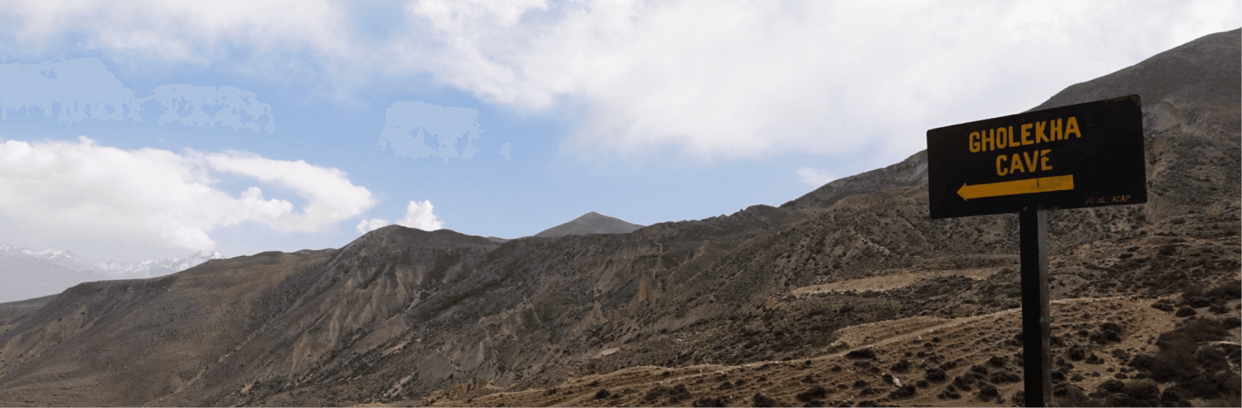
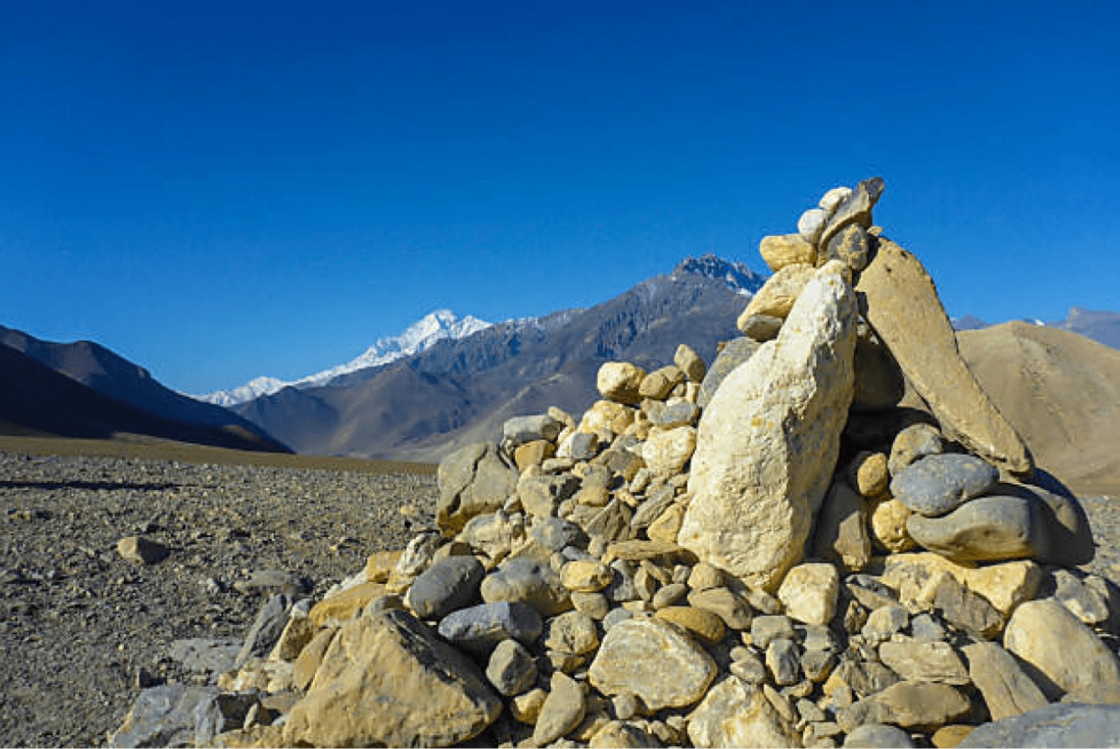
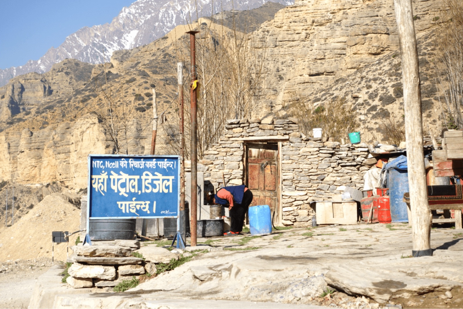
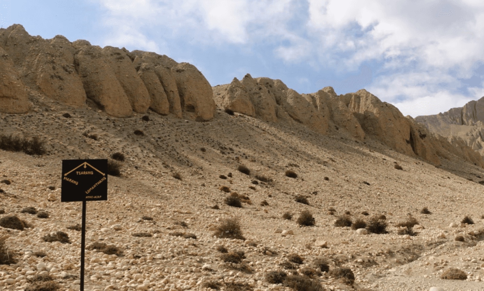
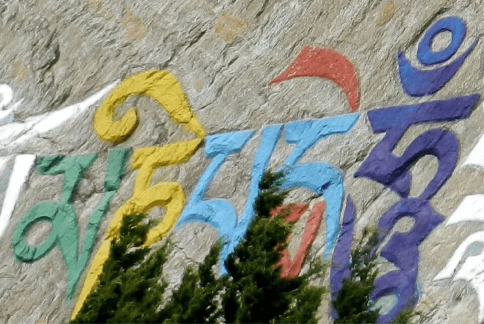
How people find their way in Mustang today: no system, just whatever is to hand.
Research
Survey findings.
A 19-question survey across seven nationalities, consultation with two Nepal-based operators (Anuj Adhikari, founder of VonKathmandu, and mountain-biking guide Nirav Shrestha), and a visual audit of the corridor’s existing signs, maps and cartography. The survey ran on its own project site, Way Finding in Mustang.
A vehicle route people also walk
50 of 53 respondents named a vehicle as a way they travel there. Every precedent I studied, from the Swiss Alpine Club to Legible London and Network Rail, was designed for people on foot.
People fear the consequences, not the confusion
Getting lost ranked fourth. Above it sat weather, emergencies and losing phone signal: three versions of the same fear of being stranded without help. That ordering set the hierarchy for every sign in the system. Safety comes before direction.
Survey · 53 respondents
Primary concerns in a remote mountain region
Weather, emergencies and signal loss cluster above getting lost itself.
Being stranded without helpEverything else
Respondents could choose more than one concern.
The insight
Spine and spur.
Travel here isn’t one mode. It is a state people move between several times a day: by vehicle along the highway spine, then on foot or by bike along spurs that return to a pickup arranged in advance. The same person reads both sign families, so the conventions can never change between them.
Principles
Seven principles, each traceable to evidence.
The third principle was rewritten after the evidence contradicted its first version, and the revision stays on the record.
- 01Safety precedes directionEmergency information on every sign, not only on emergency posts.
- 02Offline sufficiencyEverything critical is on the sign. QR codes only add to it.
- 03The unit follows the modeDistance on the highway; time and elevation on the trail.
- 04Three-script hierarchyDevanagari leads, Latin follows, Tibetan joins north of Kagbeni.
- 05Independent sufficiencyNo sign assumes anyone has been briefed in advance.
- 06Continuity across modesTwo sign families, one identity, conventions that never vary.
- 07Positional safetyDistance to help, not only distance to the destination.
Identity
Meaning behind the logo.
The mark starts from the rhododendron, Nepal’s national flower, which blooms as a cluster of florets forming a single dome. It also reads as a Newari courtyard, and as the square trail post seen from above: the mark is the system it represents, viewed in plan.
In a Newari courtyard a deity stands at the centre. Here the centre is left empty, held by the crossing of paths: the junction, and the traveller’s own judgement. Four solid quadrants with no inner linework survive powder coat and cut vinyl from 120 mm on a trailhead board down to 15 mm on a trail blade.
The name comes from the national anthem, सयौं थुँगा फूलका हामी, एउटै माला: hundreds of flowers, one garland. Twenty-two settlements threaded on a single road share the garland’s shape.


Red
Direction and safety · #C12626
Blue
Elevation and context · #002C58
Yellow
Active hazard · #F5C545
The sign system
Two families, one identity, conventions that never change.
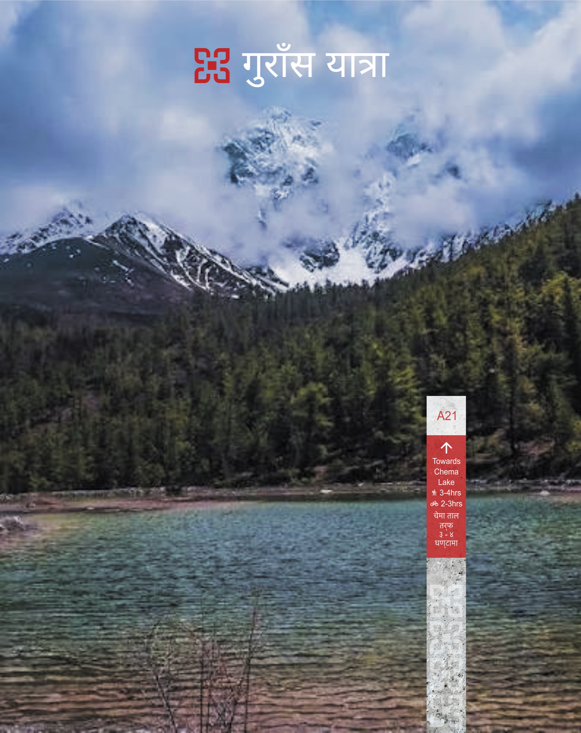
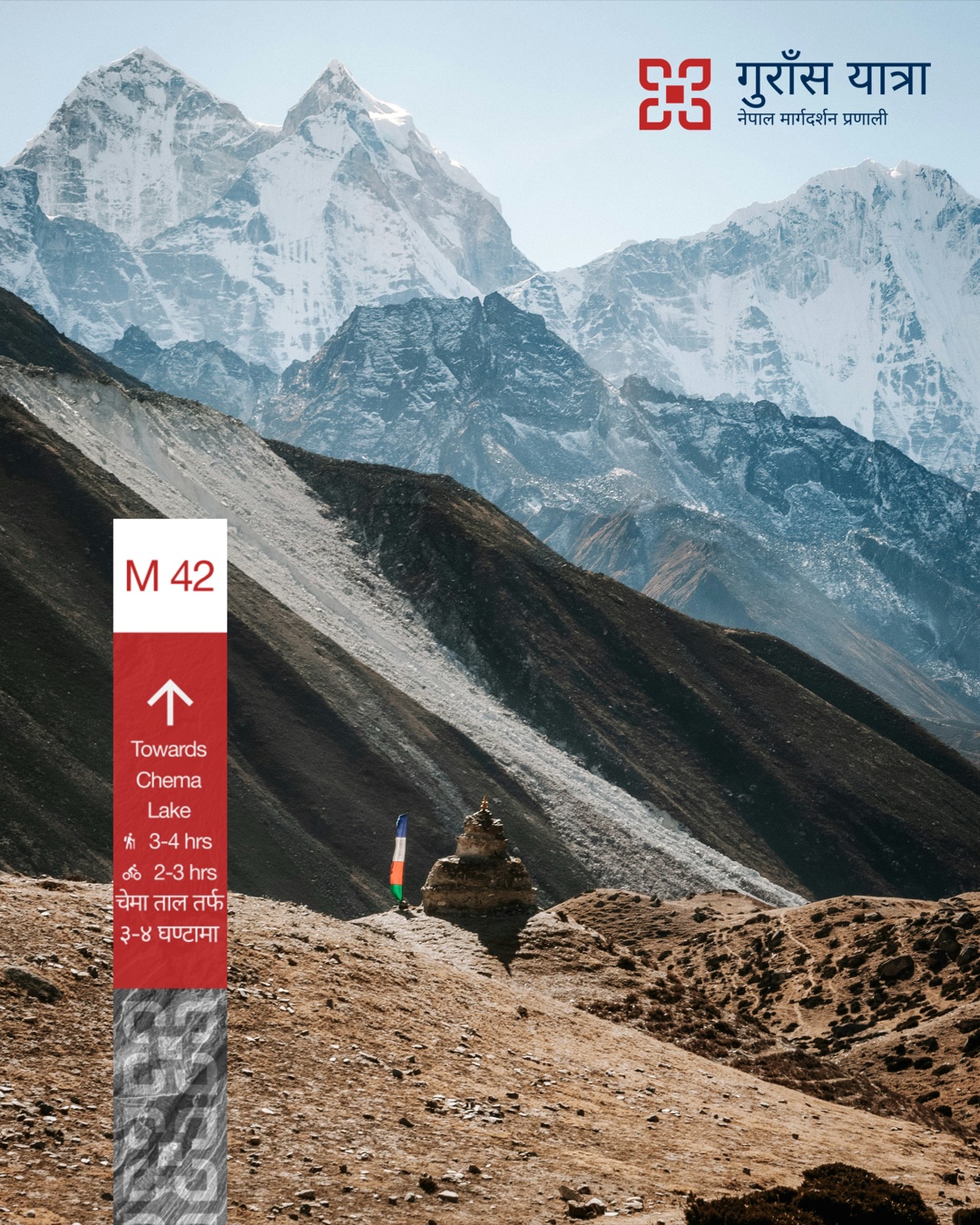
Walking posts are local stone, chosen for continuity with the landscape and for surviving UV, frost and wind at altitude with no maintenance behind them. The mark is cut into the stone, so a post reads as infrastructure before any panel is legible. Every post is numbered, so a pickup can be arranged the night before without phone signal.
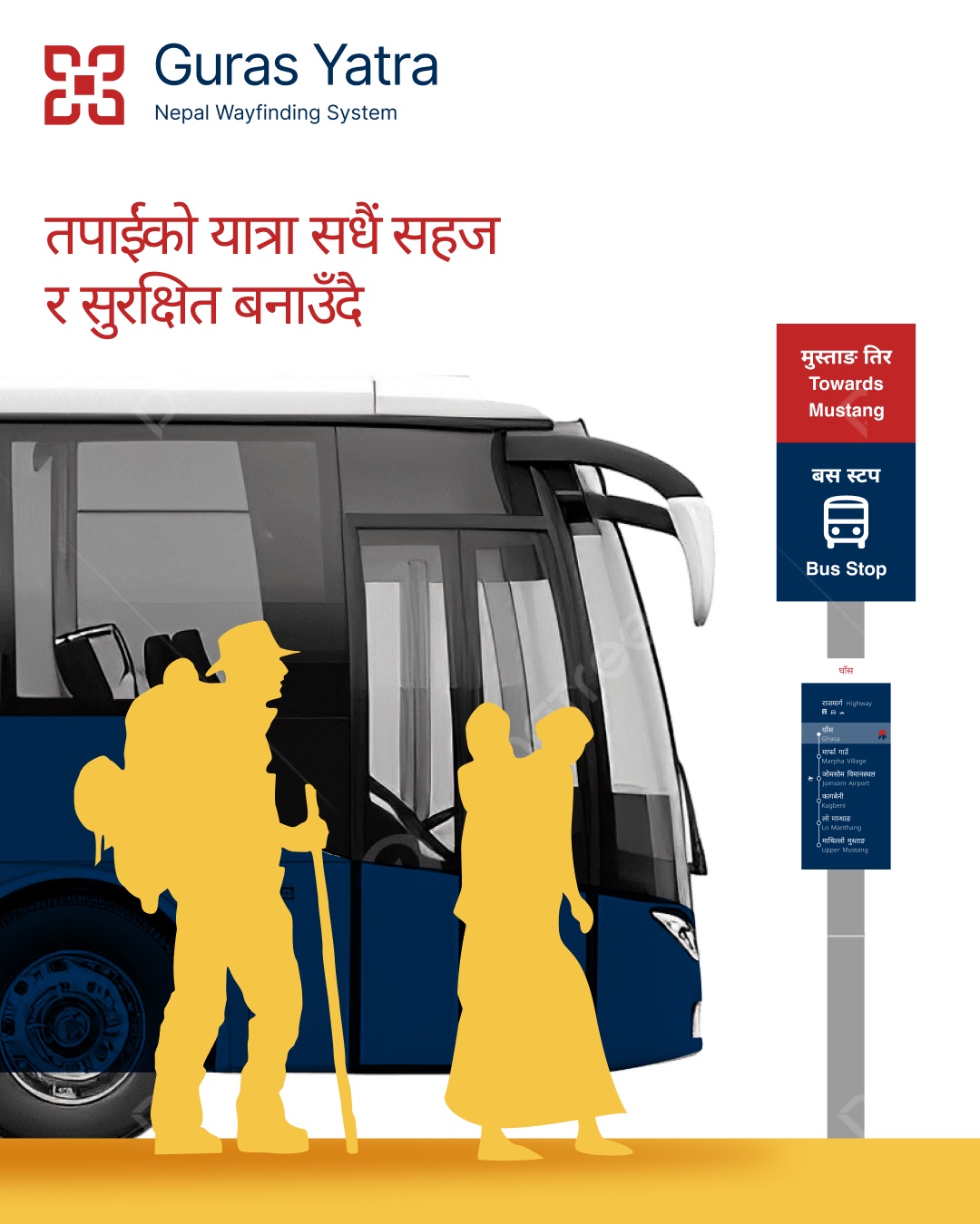
Colour means the same thing on every sign, and so does the order of scripts: Devanagari first, Latin at 65% of its x-height, Tibetan north of the Kagbeni checkpoint, where the language of the territory changes.
The trail marker
One marker, one set of rules.
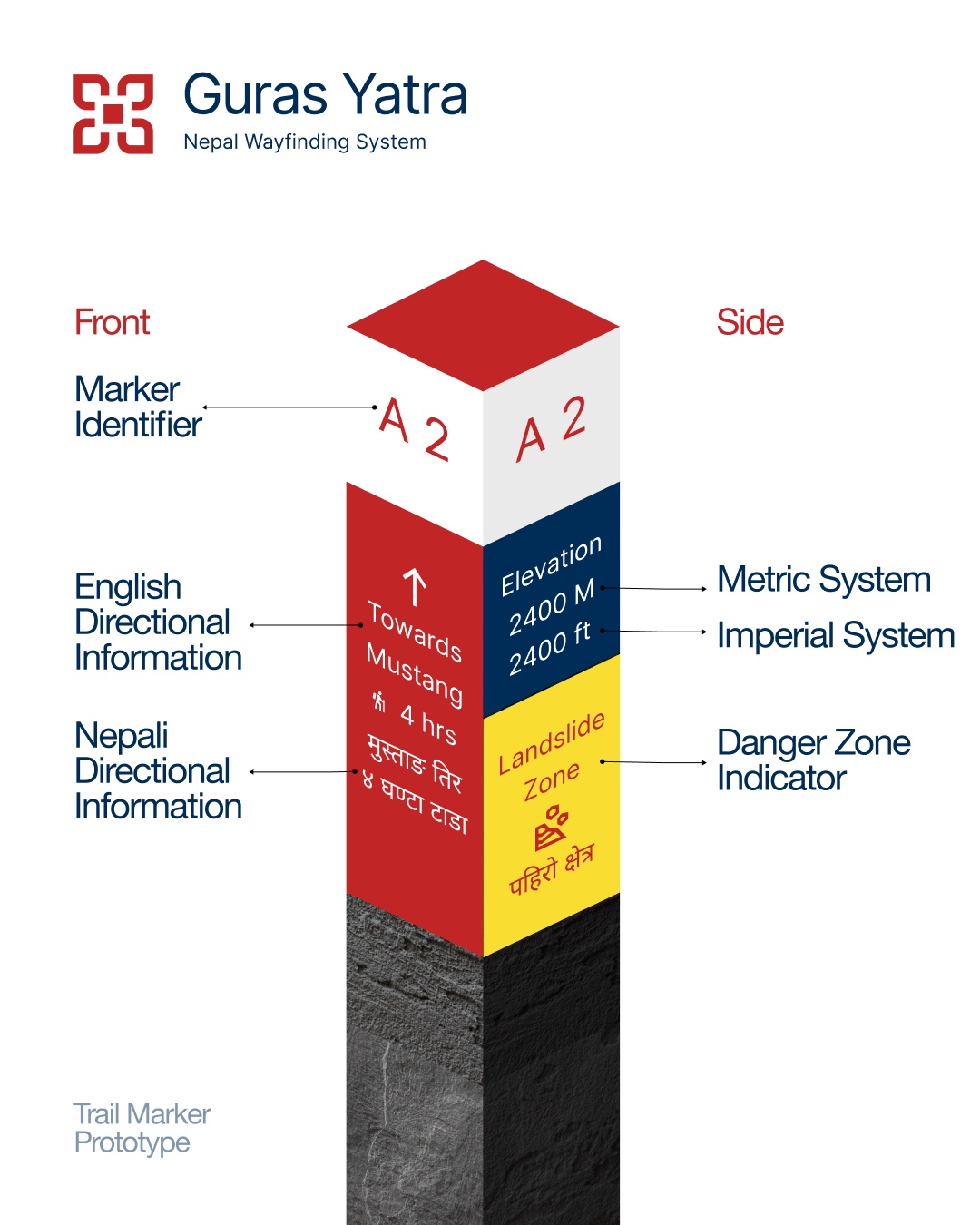
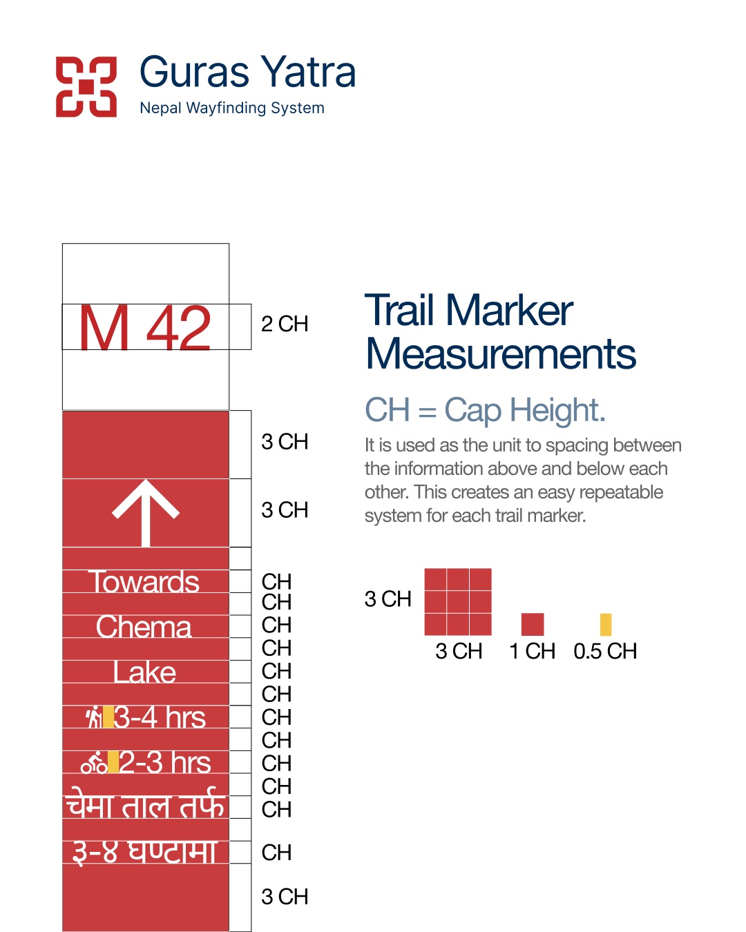
The trail marker is the system at its smallest. Every face reads in the same order: an identifier at the top, then English and Nepali directions with walking time, elevation in metres and feet, and a danger-zone panel wherever the trail crosses landslide ground.
Everything is spaced in units of cap height, from half a cap height between lines to three around the arrow, so the same few rules build every marker on the route.
Route boards & the highway
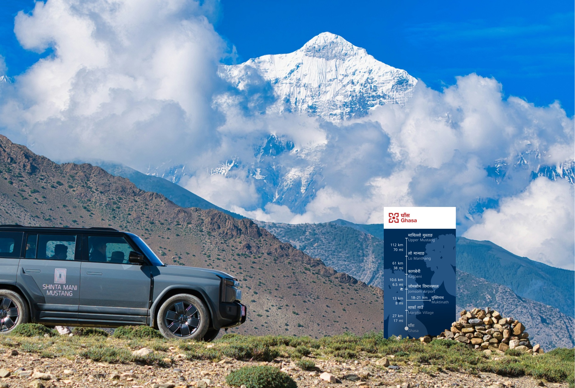
For most of the corridor there are no arrows, and that is the argument. An arrow answers a question this road doesn’t ask, so route boards show where you are within the whole route instead. At the four real junctions a separate sign type takes over, carrying direction, both durations and the altitude at the decision point itself.
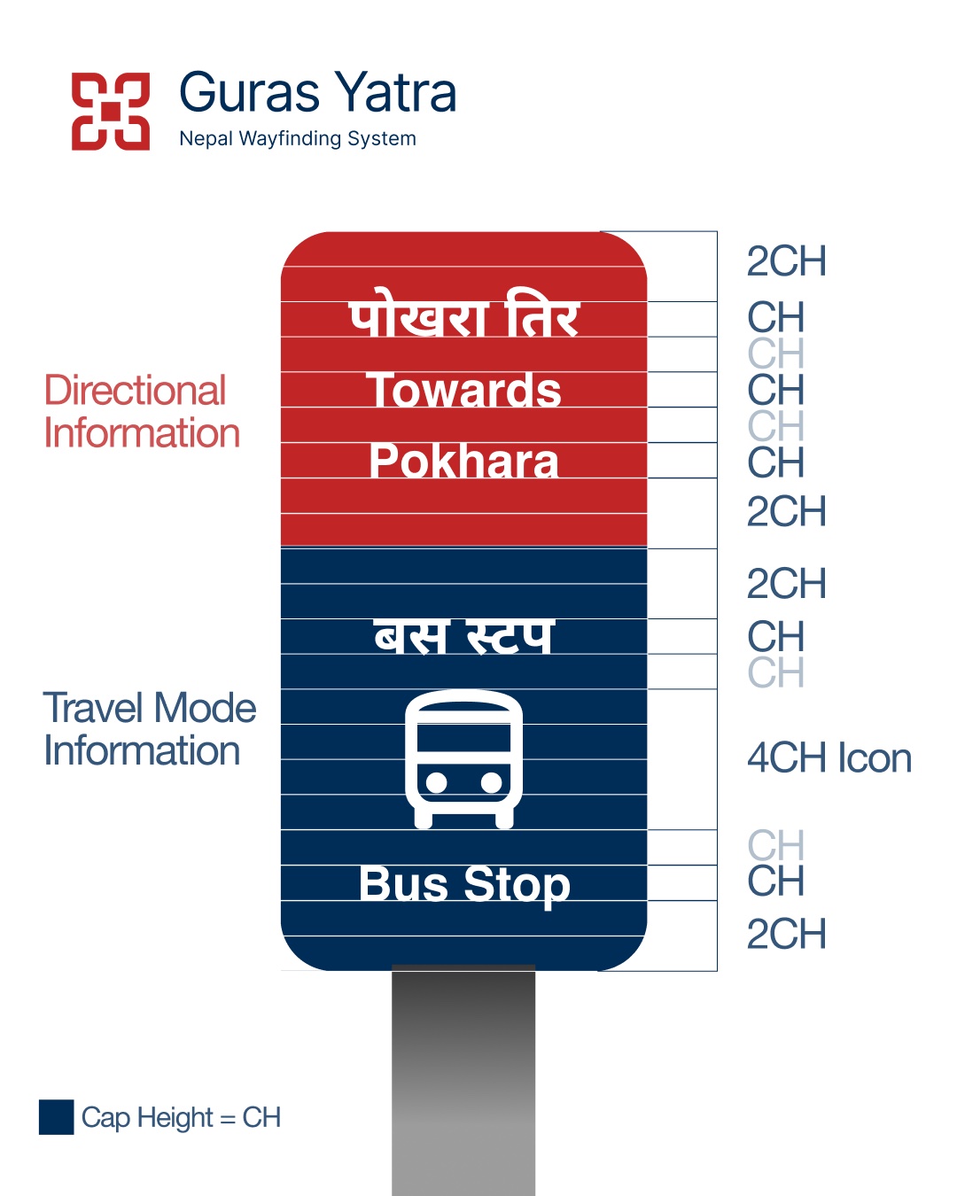
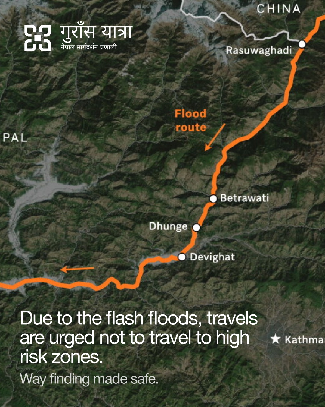
Introducing the system before the journey.
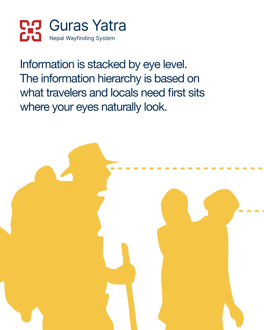
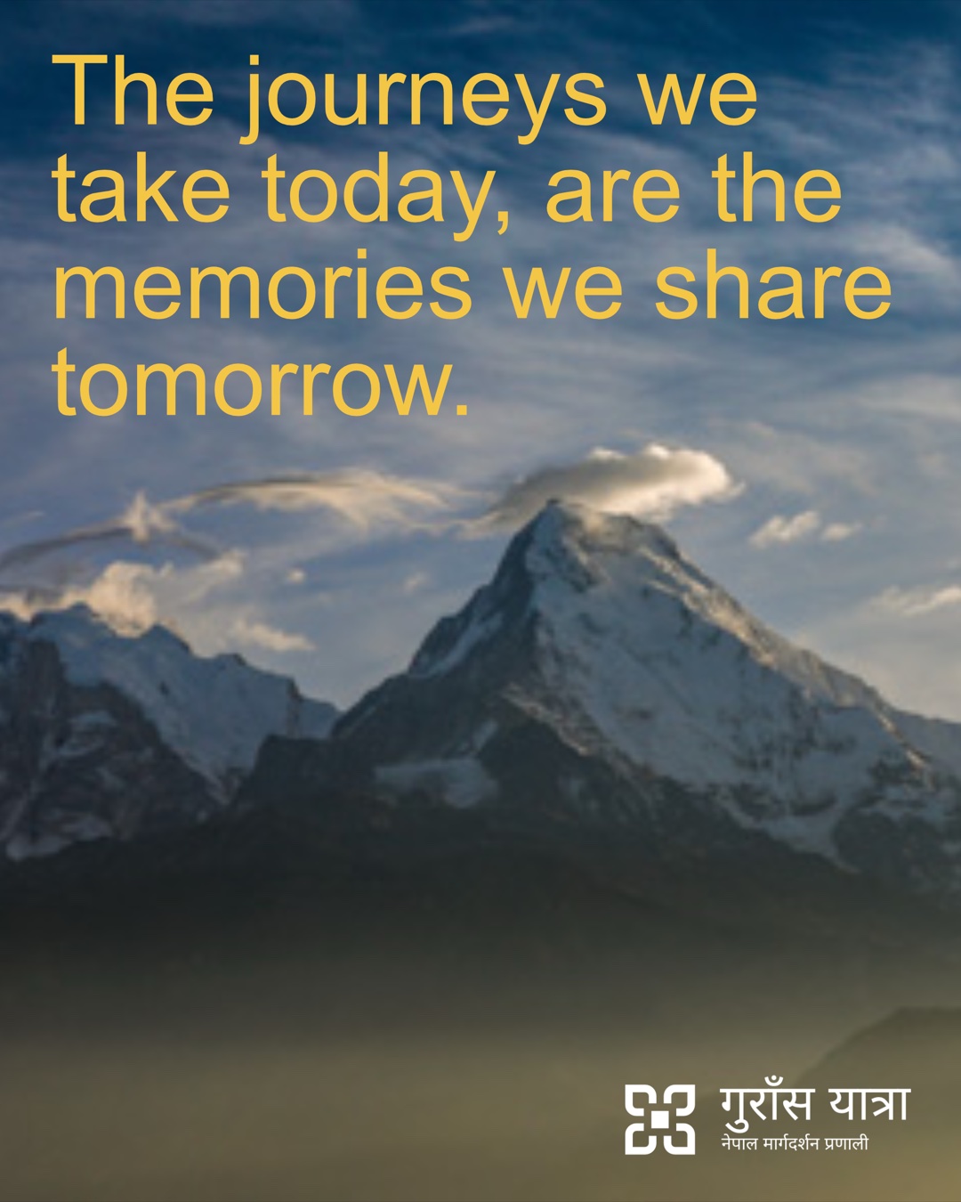
The Guras Yatra account, @gurasyatra, shows travellers what the signs say and in what order, how to read a trail marker and a bus stop, which routes to avoid after flash floods, and why the journey is worth making.
What next
A proposal coherent enough to put in front of three institutions.
Nepal Tourism Board would adopt Guras Yatra as national infrastructure. The Annapurna Conservation Area Project would approve it north of Kagbeni. The Department of Roads would approve placement on the highway. Each has its own governance, funding cycle and priorities.
It is also a proposal for a route I haven’t walked, made by a Nepali designer in London without a mandate from Lo Manthang. The step that matters most is the one this project couldn’t include: consulting the communities it describes.